| WMO: | #5903777 |
| PI: | Phil SUTTON |
| DAC: | aoml |
| SOLO_II: | #8064 |
| DRUCK_2900PSIA: | #3169563 |
| SBE41CP: | #3343 |
| Deployed: | 2011-10-30 |
| Latitude: | -32.411 |
| Longitude: | 176.997 |
| Fleet Monitor: | EuroArgo |
| Altimeter Comparison: | IFREMER/CLS |
| GDAC: | Coriolis |
 |
 |
Profile Positions  |
Dive Trajectory  |
Data Status  |
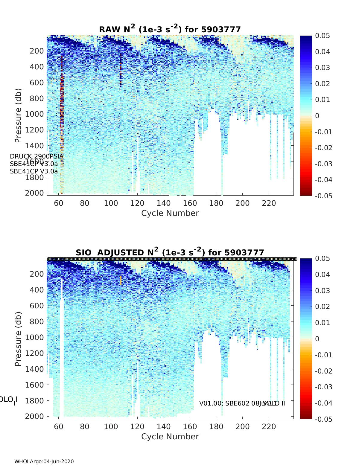
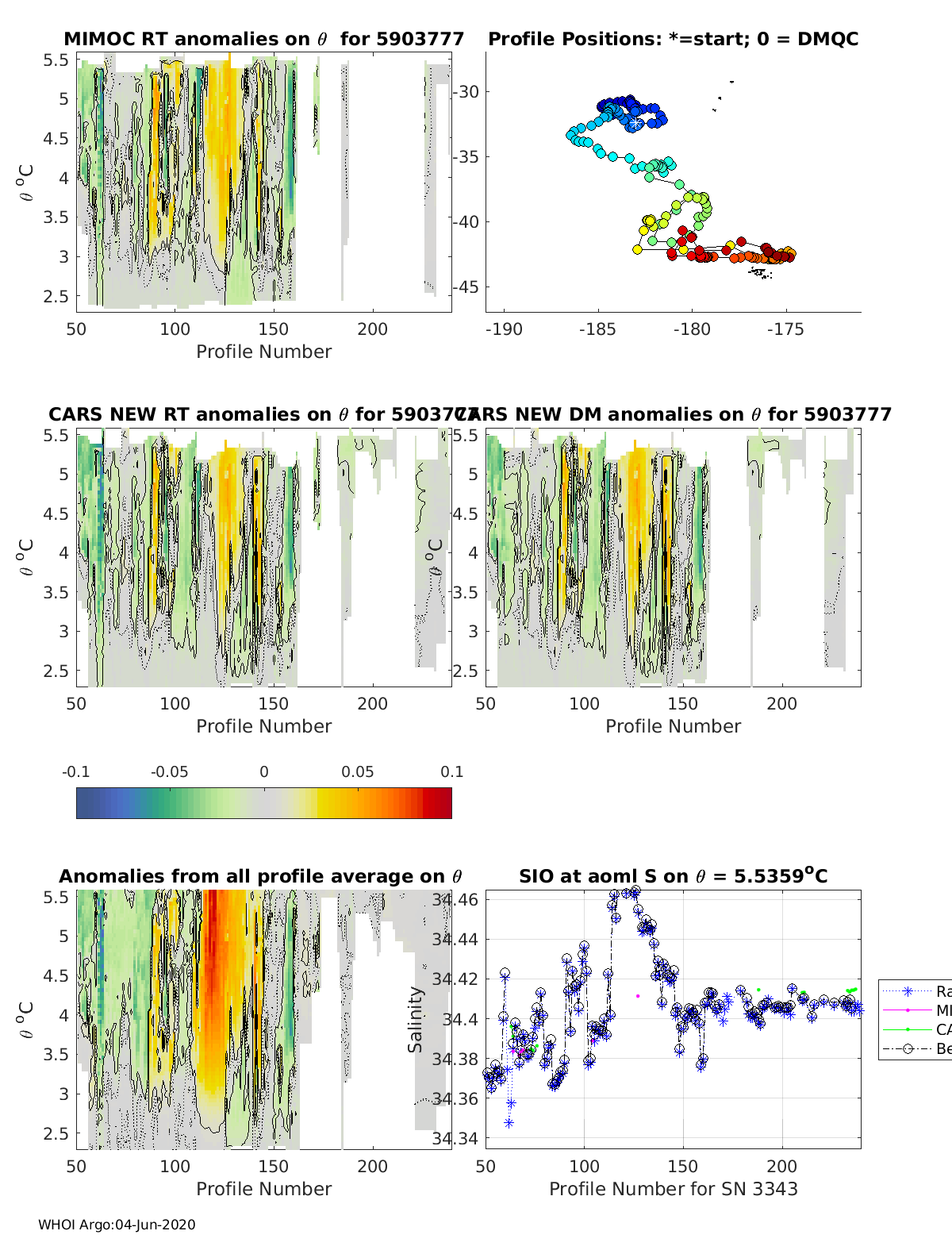
Deep TS  |
| DMQC Status: | Key |